Sometimes there’s success in failure.
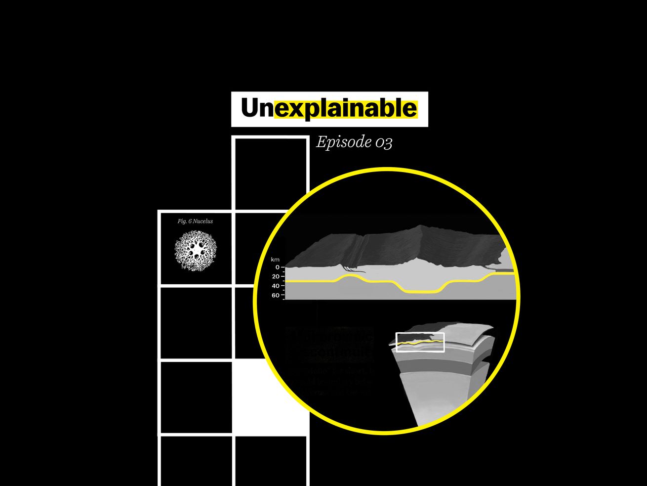
There’s a mystery hiding deep beneath our feet. If you dig down past the tree roots and house foundations, past the water table and the fossilized bones, through layers of rock and ore, you’ll eventually reach a boundary. Here, the Earth’s crust — the rock we live our lives on — transitions into the denser rock of the Earth’s mantle. This boundary is the Mohorovičić discontinuity, or “Moho” for short. And no one knows for sure what this boundary looks like, or what lies there.
Sixty years ago, scientists tried to solve that mystery. They wanted to reach the Moho by drilling a deep hole at the bottom of the ocean — a project that journalists compared to a moon shot at the time. The scientists thought, if they could just pull up a cross-section of this Moho, they might uncover secrets about the Earth’s inner workings.
/cdn.vox-cdn.com/uploads/chorus_asset/file/22375927/GettyImages_158088395.jpg) Fritz Goro/The LIFE Picture Collection via Getty Images
Fritz Goro/The LIFE Picture Collection via Getty Images/cdn.vox-cdn.com/uploads/chorus_asset/file/22375929/GettyImages_1188678614.jpg) Fritz Goro/The LIFE Picture Collection via Getty Images
Fritz Goro/The LIFE Picture Collection via Getty ImagesUnfortunately, as explored in this week’s episode of Unexplainable, they never made it. And for decades, the project was criticized as a boondoggle and a waste of money.
But it was, arguably, not a failure. It laid the groundwork for a whole new field of ocean exploration, which then led to unexpected scientific discoveries.
Just as the space race taught us new things about our solar system, this underwater effort gave us clues about our planet’s climate and the limits of life itself.
This is a story about why exploring the unknown is so important, whether or not the initial goal is achieved. It’s also just a fun, weird yarn. Let’s dive in.
The Moho discontinuity, explained
Like many quests, this one begins with an old map. In this case, it was a map of the inside of the Earth that seismologists had been putting together in the early 1900s, using measurements from earthquakes as their guide.
Earthquakes release energy in the form of seismic waves, and those waves travel through the planet. When these waves reach scientific instruments, they tell scientists about the earthquake’s origin and also about the materials deep underground that the waves have passed through to reach those instruments. Because the waves move through different materials at different speeds, this helped scientists put together a very rough sketch of the inside of the Earth — kind of like an X-ray, or an ultrasound.
It wasn’t the most detailed picture, but it did show these scientists something very clearly: All around the Earth, whether on land or in the ocean, there was a point underground where the seismic waves suddenly started traveling much more quickly. The implication was that there’s a zone where the materials that make up the Earth change very suddenly.
/cdn.vox-cdn.com/uploads/chorus_asset/file/22375396/mohodiagram_draft.png) National Academy of Sciences; Amanda Northrop/Vox
National Academy of Sciences; Amanda Northrop/VoxScientists named this spot the Mohorovičić discontinuity, or “Moho,” after Andrija Mohorovičić, a seismologist who helped find it. But they weren’t sure what to make of it.
A space race at the bottom of the sea
For decades, the Moho was a curious mystery. Then, in 1957, a group of geologists and oceanographers got together at a scientific conference. Several were members of a quirky group known as the American Miscellaneous Society, an informal association of people interested in weird ideas in the Earth sciences. (They also occasionally sent each other a big stuffed albatross in acknowledgement of work well done. As far as scientific societies go, it was a fun one.)
At this conference, members of the American Miscellaneous Society started to talk among themselves, trying to come up with an exciting project. Two of them, Walter Munk, an oceanographer, and Harry Hess, a geologist, suggested that they should drill down and bring up a sample of the Earth’s mantle and the Moho boundary.
Their reasoning: It was mysterious! It could help them understand the function of the Earth! And it would be technologically difficult and interesting!
“This would be the perfect analogy of a space probe,” Willard Bascom, a member of the American Miscellaneous Society, describes in his book about the project. “Think of the attention it would attract to the earth sciences.”
After the conference, the American Miscellaneous Society met up at a member’s house in La Jolla, California, for a breakfast meeting to talk about the idea they were calling “Project Mohole” — and to figure out how, exactly, to get to the Moho boundary.
The Earth’s crust is, on average, around 22 miles or about 35 kilometers thick on land. That’s a lot to drill through. But at the bottom of the ocean, it averages closer to 4 miles, or about 6.5 kilometers, thick. The scientists decided that if they wanted to drill through the crust to the mantle, they’d need to drill underwater.
Bascom writes, somewhat wryly, “The project sounded so simple and logical at a breakfast meeting on a sunny patio.”
It was, however, not simple at all.
Not simple: Drilling through miles of rock thousands of feet under the ocean’s surface
It’s not cheap, drilling beneath the ocean floor. First, the scientists had to secure funding, which they eventually got from the National Science Foundation. Why did the NSF put up the money? As one scientist, Gordon Lill, put it later, “We didn’t scream and shout, ‘The Russians are coming, the Russians are coming,’ but we let it be known that the Russians were doing a lot of work and that we probably ought to be doing it too.” It was the Cold War. 1957 was the year Sputnik launched, and the fact that Russian scientists were making noises about exploring the Moho apparently made a difference.
Next, the scientists had to figure out how to lower a drill through thousands of feet of water, and drill through several miles of crust.
“It’s like trying to do work on the surface of the Earth if you were in a helicopter and you were a half a mile up,” says Donna Blackman, a geologist at the University of California San Diego, who researches the crust and the mantle of the Earth.
Back in the early 1960s, these geologists had to develop brand new technologies (oil companies hadn’t yet started drilling in waters this deep). They had to figure out how to hold a ship still in the middle of the ocean without dropping any anchors, since the seafloor was so far down (the method they invented involved sticking multiple propellers onto a ship that fired together to hold it in one place).
/cdn.vox-cdn.com/uploads/chorus_asset/file/22375935/GettyImages_50552765.jpg) Fritz Goro/The LIFE Picture Collection via Getty Images
Fritz Goro/The LIFE Picture Collection via Getty ImagesThey also had to work out how to lower segments of pipe down through strong ocean currents. And then once they got the pipes to the ocean floor — and then drilled down through the pipes — they had to figure out how to drill through miles of crust.
And they had to figure out how to bring up “cores” of rock and mud — long, intact cylinders punched out of the seafloor.
It was so much engineering that they decided to start small. First, they’d try drilling a few hundred feet into the ocean floor, instead of several miles.
/cdn.vox-cdn.com/uploads/chorus_asset/file/22375825/final_toscale.png) A Hole in the Bottom of the Sea: The Story of the Mohole Project; Amanda Northrop/Vox
A Hole in the Bottom of the Sea: The Story of the Mohole Project; Amanda Northrop/VoxSo in 1961, the scientists boarded an old oil ship, the CUSS I, and set sail for a spot near Guadalupe Island, off the coast of Mexico.
John Steinbeck, the author and reporter, was on board to record the whole adventure for Life magazine. His diary includes snarky comments about the boat itself (“CUSS I has the sleek race lines of an outhouse standing on a garbage scow”) and colorful details about life on board (“We’re pitching so that when I asked Louie the cook for my eggs straight up, he said, ‘Better have them scrambled so I can keep them in the pan.’”)
Steinbeck’s article is also full of moments of real wonder, like when the team, finally, brought a mud and sediment core up from the very bottom of the ocean.
“When the core comes up,” Steinbeck writes, “the whole crew crowds around — cooks, seamen, drillers, off-duty engineers, scientists. Everyone aboard has a frantic interest. The scientists have trouble working because of the crush of bodies.”
/cdn.vox-cdn.com/uploads/chorus_asset/file/22375956/GettyImages_50552761.jpg) Fritz Goro/The LIFE Picture Collection via Getty Images
Fritz Goro/The LIFE Picture Collection via Getty Images/cdn.vox-cdn.com/uploads/chorus_asset/file/22375957/GettyImages_101231681.jpg) Fritz Goro/The LIFE Picture Collection via Getty Images
Fritz Goro/The LIFE Picture Collection via Getty ImagesThis first, more modest mission, was a success. So much so that President John F. Kennedy telegrammed the National Academy of Sciences, saying that it was “a remarkable achievement and an historic landmark in our scientific and engineering progress.”
Steinbeck, in his reporting, was confident that the mission would go on. “Project Mohole has barely started,” he wrote, “And I hope I may be invited back when the new ship sails towards new wonders in about two years.”
Unfortunately, that new ship never sailed.
“This becomes, I think, a really shameful part of the history,” says Suzanne O’Connell, a geologist and paleoceanographer at Wesleyan University.
Shameful because the project was, essentially, brought down by a series of bureaucratic snafus. O’Connell explains that the members of Project Mohole got mired in a number of different traps. They ran out of funding. There were some questions from Congress about how they’d spent their money to begin with, and the engineering firm they’d chosen. And different members of the team started fighting about what their next steps should be.
This is a “glass half empty” version of the story. The one that ends by declaring Project Mohole as a total failure.
But O’Connell doesn’t see it that way.
She admits that the mission to bring up a core from the crust-mantle boundary was a flop. But the techniques that the mission developed were extremely successful, and they paved the way for whole new fields of science.
Project Mohole didn’t reach the Moho, but it did give science a whole lot
Project Mohole gave science a huge gift of two techniques: a way to steadily position boats in the ocean without using an anchor (useful in places where the ocean is too deep for anchors), as well as a method to pull up cores of material from the ocean floor.
“[It] laid the foundation for exploring the ocean, which hadn’t been done before,” O’Connell says.
After Project Mohole closed up, other scientists were inspired to take these tools and use them to bring up samples from all over the bottom of the ocean.
And those projects have continued for decades.
By analyzing samples from the bottom of the ocean, researchers have made many discoveries.
Some, like Suzanne O’Connell, have used deep ocean floor samples to peer into the past — and to help create a whole new field known as paleoceanography.
O’Connell can look at layers of fossils, and particles of ancient dust, and bits of rock deposited by melting icebergs. The dust gives her clues about how dry or wet things were on land millions of years ago. Some species are only adapted to hot climates, so if she finds them among the fossils, that gives her clues about temperature. And by considering all these bits of evidence, she can pull together a whole picture of ancient climates.
Then, by moving between the layers, O’Connell can study how the climate in a region shifted in the deep past. And that research has helped her understand exactly how rapidly the Earth’s climate can change.
“We — people like me — grew up in sort of the gradual world,” she says. When she began her work several decades ago, she says that it was generally believed the Earth was incapable of sudden dramatic shifts in the climate. Now, she says, “we know from ocean drilling that things can happen really fast.”
With the cores, O’Connell and other researchers can ask the question: what was the climate like millions of years ago? And the answers are informing models of how climate change is playing out today.
/cdn.vox-cdn.com/uploads/chorus_asset/file/22375961/GettyImages_1188676587.jpg) Fritz Goro/The LIFE Picture Collection via Getty Images
Fritz Goro/The LIFE Picture Collection via Getty ImagesPaleoceanographic research is currently helping to inform our models of contemporary climate change. Unlike cores of polar ice that are also used to understand past climates, which go back hundreds of thousands of years, the records at the bottom of the ocean can go back millions of years.
Additionally, these deep ocean samples have allowed scientists to bolster the theory of plate tectonics (i.e., the geological theory that explains how continents drift across the globe, very slowly), and they are also even helping us redefine life.
Jason Sylvan, a microbiologist at Texas A&M who works with these cores, says that scientists have been able to use them to probe the limits of life: How do organisms survive at high heat, or with no oxygen? Can an organism still be considered “alive” if it has been in stasis for thousands — or maybe even millions — of years? These are the questions ocean cores raise, but that they can also help scientists like Sylvan answer.
So when I asked O’Connell if the quest for the Moho, all those decades ago, was worth it, even if it was a failure … I wasn’t surprised by her answer.
“It’s more than worth it,” she said.
And there’s still so much left to learn.
Further reading
- The International Ocean Drilling Program, which coordinates deep sea drilling projects all over the world, has a long-term goal of getting a cross section of the Moho. Geologists think it could help us better understand the mechanics of plate tectonics.
- Check out this write-up on the long-term efforts to reach the Moho from the Woods Hole Oceanographic Institute.
- The IODP has laid out their plans for the future of ocean drilling. But if you want to read more about the fruits of drilling efforts so far, Suzanne O’Connell has this overview, or this more technical write-up. Dig in! (Drill in?)
- If you want to know what it’s like to set sail and do marine science, here’s a piece you’ll enjoy.
Author: Byrd Pinkerton
Read More